In case you are the Youtube type, check out a video I put together below :
What is A Land Survey
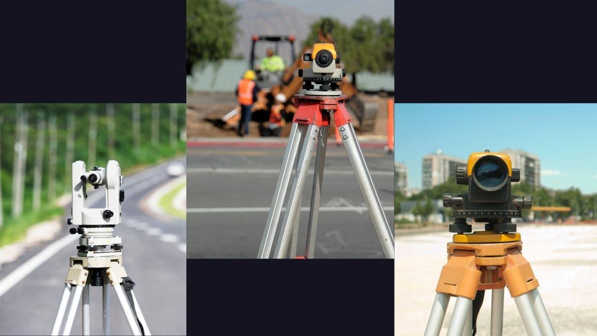
Land surveying is the process of measuring and mapping out the boundaries and characteristics of a piece of land. Land survey professionals (also known as surveyors) use various tools and techniques such as GPS, total stations, and aerial photography to complete a survey.
The information gathered from the survey is then used to create accurate maps, legal descriptions, and other important documents that can be used in construction, property sales, and land-use planning.
What is An As Built Survey
An as-built survey on the other hand has to do with the interior side of a building and is done after a construction project is complete. The purpose of this survey is to create an accurate record of the final condition and layout of the project, including any changes or modifications made during construction.
As Built professionals will use tools like GPS, laser scanners, and measuring tapes to take precise measurements and create a detailed map of the site. The information gathered from the survey is then used to create as-built drawings, which are typically used by architects, engineers, and contractors for future renovations or additions.
Importance Of Land Survey & As Built Survey
As-built surveys are important because they help ensure that buildings and infrastructure are constructed to the correct specifications and can be safely used and maintained over time.
Land surveyors play an important role in ensuring that land is used and developed in a safe and efficient manner, while also respecting the rights and boundaries of property owners.
When Do I Need Land Survey?
There are several situations where you may need a land survey, including:
- Buying or selling property: If you are buying or selling a piece of land, you may need a land survey to determine the exact boundaries of the property and to ensure that there are no encroachments or other issues that could affect the value or use of the land.
- Building a new structure: If you are planning to build a new structure on a piece of land, you will need a land survey to determine the precise location of the structure and to ensure that it is not encroaching on neighboring properties or violating any zoning laws or building codes.
- Resolving property disputes: If there is a dispute over property boundaries or ownership, a land survey can be used to determine the exact location of the boundaries and to resolve the dispute.
- Obtaining building permits: In some cases, local governments may require a land survey before issuing building permits to ensure that the proposed construction is in compliance with zoning laws and other regulations.
- Land-use planning: Land surveys can be used to help with land-use planning, including identifying areas that are suitable for development, determining the location of infrastructure, and assessing the environmental impact of development projects.


